


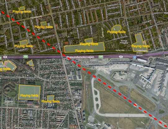
Reducing the risk of bird strikes using satellite images and Ascend’s Normalised Difference Water index software (NDWI)









BROWSE PROJECTS
Based on user needs and industry skills, the evolution of customized solutions and the establishment of innovative services is accomplished through project activities. Focusing on various thematic areas, relevant information on the project activities is provided below.
LeA: Learning Achievements
Status date: 13 July 2022
LeA Project boosts the acquisition, development and consolidation of skills and knowledge, both technical and scientific, with particular reference to Space, using tools and methods that combine education and entertainment.

STARS
Status date: 19 August 2020
The STARS project aims to deliver a service consisting of the automation of real-time workout parameter registration during swimming workouts. Currently, there is no system available in open water swimming that allows for the real-time registration of both biomechanical and physiological parameters in a wearable and comfortable way.
AlmEO
Status date: 05 July 2022
AlmEO is an innovative integrated service dedicated to the management of almond orchards using in situ Earth Observation and meteorological data. TerraNIS has developed two tools for the purpose of the AlmEO service provision 1) Vegetation Growth Monitoring and 2) Daily Water Status. Both tools have been developed in collaboration with end-users in order to monitor and compare the vegetative growth of almond plots and to provide irrigation recommendations.

City DT4DT
Status date: 29 June 2022
City DT4DT is an advanced package of services developed for the urban utilities and municipalities. The package includes a 3D environment, complemented by three space-based monitoring modules, for predictive analyses.
OTAM+
Status date: 16 June 2022
The OTAM (Oil Trading Analytics Monitor) is a comprehensive solution for the oil trading analytics market, created by seamlessly combining Earth Observation data with oil analytics data. This new combination of datasets provides actionable insights on the status of the oil market.
Inference
Status date: 02 June 2022
Using new approaches to map sugar worldwide, focusing on the more complex regions, including Thailand and India.
AgriPoints
Status date: 27 May 2022
AgriPoints solution is designed to leverage the potential of crop fields, through utilising globally available satellite imagery and Artificial Intelligence techniques. AgriPoints analyses crop fields and forecasts their progression based on areas with similar conditions and identifies unexpected anomalies on crops, caused by weather, pest outbreaks, drought or soil nutrient deficiency. The solution targets individual farmers, consulting companies and investors.
M4PM
Status date: 19 May 2022
M4PM ("Tumours, Organoids and Spheroids in Space - Microgravity for Personalized Medicine (M4PM)") is a feasibility study around an end-to-end service growing high-quality spherical 3D tumours, organoids and spheroids in Space. These Space-grown TOS are used for personalized medicine, disease modelling, drug research and (high-throughput) drug screening as well as toxicity testing.
ECOP
Status date: 17 May 2022
ECOPlayer (ECOP) - ecological, virtual educational platform for children and young people. The activity is based on the use of synergy resulting from the integration of modern satellite solutions aimed at creating an educational platform based on three methods of content presentation: Virtual Reality, Augmented Reality and a combination of features of both solutions in the form of Mixed Reality.
The proposed product is based on two key space programmes carried out by ESA: Earth Observation as part of the Sentinel mission and GNSS global positioning systems. The proposed solution envisages exploiting the synergy of the Sentinel project's products with the Galileo and EGNOS satellite navigation systems to provide integrated geo-information to the users.

Safeblock
Status date: 02 May 2022
Safeblock improves Compliance Reporting by establishing physical frames of reference for IoT Data that can be assessed by both building owners and regulators. GNSS parent nodes anchor a reporting network of heterogeneous IoT sensors whose relationship to the parent nodes is established by data analysis of their ‘observed environment’. Data from compliance devices is stored immutably and data claims analysed before acceptance. Safeblock creates a record of safety data from source to approval which is transparent and auditable.
SenZitall
Status date: 17 May 2022
The SenZitall integrated solution is envisaged as a one-stop-shop for integrated pest management. The unique selling points of the provided system and service are: a flexible and reliable data transfer solution (terrestrial or satellite without the need for user intervention) ensuring that no data is lost, high modularity in sensor type and node topology with easy deployment of extra nodes at any point in the product life-cycle, and a low-cost energy harvesting solution supporting a fully independent system. The data received from the sensor network combined with the earth observation data provides the users with a sophisticated solution for improving their pest management practices (SDSS).
ARIES
Status date: 04 June 2021
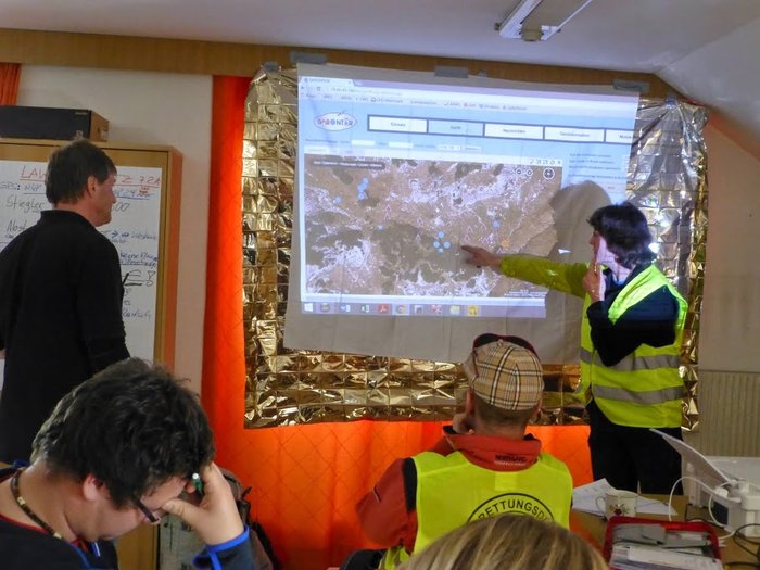
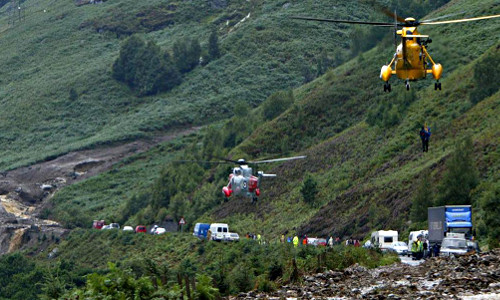
A project for an efficient system for prevention, monitoring and response against wildfires and landslides emergencies with focus on satellite assets, terrestrial 5G networks, drones and next generation IoT sensors.

WISE 5G
Status date: 17 May 2022
The enhanced performance of a 5G oriented connectivity on-board of Ferry Vessels based on the use of Ka HTS and Ku satellite bandwidth, as supplementary backhauling, can introduce on-board new families of services for the passengers, the crew and the Ferry itself.

Local Hub
Status date: 17 May 2022
The community calendar model will underpin healthier ageing, help address deprivation and inequalities through improved access to transport to activities, improving overall health and wellbeing, mental health and prevention of long-term conditions.
Orbital Assets
Status date: 02 May 2022
Earth Observation (EO) technology holds significant potential to map and monitor building assets and material stocks in urban environments, at scale - thus providing key information to improve resource efficiency and circularity within the building and construction sector. Orbital Assets will pilot and prototype new EO solutions to systematically map and monitor building objects, elements, and types in urban areas.

Purlieu
Status date: 28 April 2022
The Farmeye Purlieu system delivers an innovative means to survey and monitor hedgerows. The system combines traditional well-established methodologies for surveying hedgerows with state-of-the-art precision GPS/GNSS, photogrammetric techniques and low-cost terrestrial lidar scanning (TLS).

inSAR4insurance
Status date: 28 April 2022
Stability Monitor is web application delivering information regarding ground movement of client’s area of interest, assessing not only the risk of the territory to move or fail, but the long-term trend of such movement and related statistical information. The potential clients of the solution are insurance and development companies (spatial/urban planning, architectural and engineering offices), taking care of real estates.
Stability Monitor is to be a web-based solution (web application) delivering information regarding ground movement on specific areas.
Smart-GAM
Status date: 13 April 2022
Smart GAM aims at offering an innovative and semi-automatic decision-making supporting system for asset management and predictive maintenance purposes to improve the financial resilience of assets, taking advantages of innovative data-fusion algorithms, satellite Earth Observation technologies and their integration with ground-based monitoring/database segment. SGAM focuses on the risks related to structures and infrastructures, analysing their interaction with the local geological and environmental context, by automatically evaluating the direct or potential future interferences with geohazards such as landslides, floods, sinkholes, fires etc. The service aims to support Decision Makers in defining and prioritizing the maintenance operations based on the asset vulnerability and loss scenarios, with a philosophy that may be summarized as “FROM HAZARDS TO MANAGEMENT SOLUTIONS”.

MEDICO AMICO
Status date: 13 April 2022
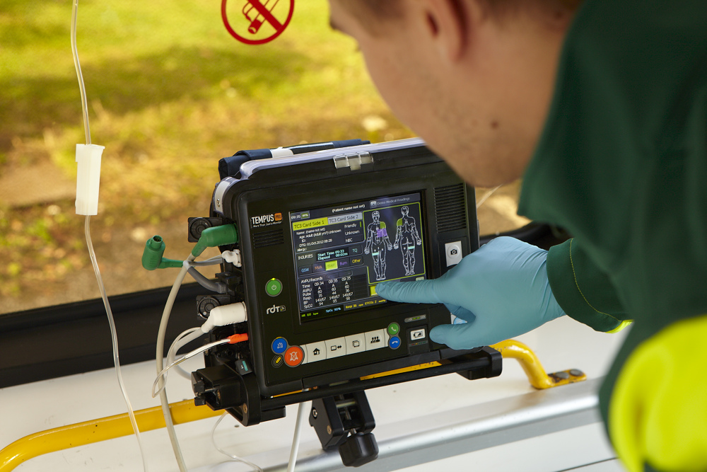
MEDICOAMICO is a new App allowing medical staff, wherever they are, to monitor their patients at home, to make teleconsultations and to deliver telerehabilitation sessions.
The patient simply needs to download MEDICAL AMICO on his/her smartphone, tablet or PC.
Rehabilitation sessions can be carried out both in real time interactively with the Therapist, or independently by the Patient, but always monitored at any time by the Therapist.