


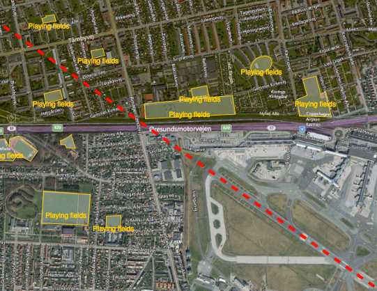
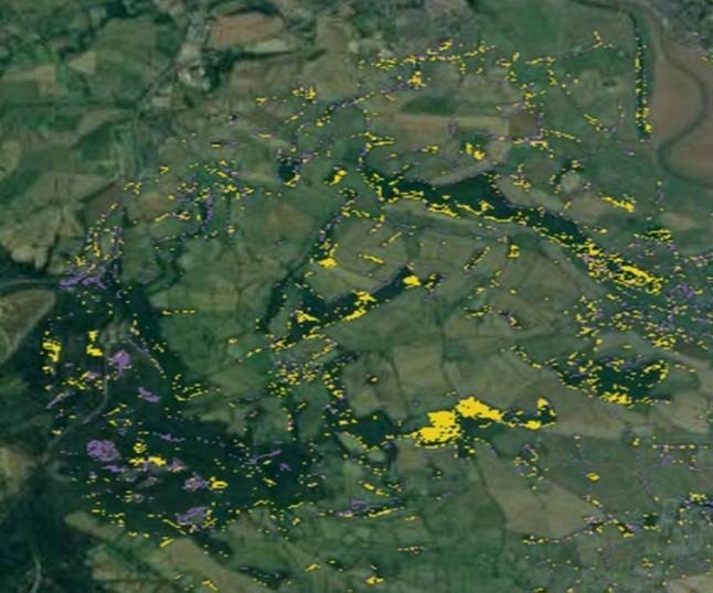
Reducing the risk of bird strikes using satellite images and Ascend’s Normalised Difference Water index software (NDWI)












BROWSE PROJECTS
Based on user needs and industry skills, the evolution of customized solutions and the establishment of innovative services is accomplished through project activities. Focusing on various thematic areas, relevant information on the project activities is provided below.
OAPM
Status date: 14 December 2020
Developed by CGG’s Satellite Mapping business unit, with support from ESA, OAPM provides regular, cost effective, satellite-derived information over offshore assets to establish a baseline, and a programme of routine pollution monitoring. The emphasis of the OAPM service is regular delivery of high-quality slick interpretation to enhance situational awareness.
mAPP’ing
Status date: 22 September 2020
FAMOS
Status date: 10 September 2020
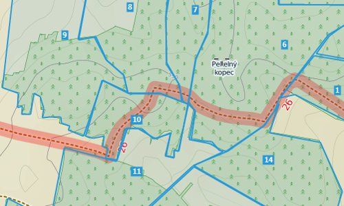
The principal objective of the FAMOS project is to develop a comprehensive forest status monitoring system tailored to the requirements of commercial clients from the commodity sector, especially within the context of cocoa, palm oil, and rubber. Combining earth observation, IT technology and GNSS, the service supports target users by improving the efficiency of existing business processes.
P4D
Status date: 04 September 2020
Diabetes Management is a 24/7 job without any day off. Patients have to make countless decisions every day on nutrition, activity, and medication. Mistakes are heavily punished and can result in events of hypoglycemia and secondary diseases. Our app helps patients to make the right decisions for their diabetes management and to increase their time in healthy blood sugar target range.

Ibisa-ks
Status date: 31 August 2018
Crop protection for smallholder farmers with low fees and fast payments
PaaS
Status date: 15 June 2020
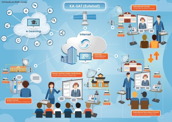
The SatADSL value proposition is to offer to Teleports a unique Platform As A Service (PaaS) service that they can use for improving service offering to their own customers while at the same time monetizing their unused satellite capacity with a new customer, SatADSL, and its network of ISPs and Teleport’s partners.

Soft-Alpha
Status date: 08 June 2020
Soft commodities, such as soy and sugar, and their related financial derivatives, are widely traded on exchanges worldwide. At present, production data is only made available at fixed points through the year (usually after the growing season). The Soft Alpha project, co-funded by the European Space Agency under its Business Applications programme, provides predictive analysis on soft commodity crop performance based on EO derived data, in a sector that is currently dependent on historical data.
SmartCARE
Status date: 04 September 2018
SmartCARE is an ICT platform of advanced e-health services where physicians and patients meet and manage daily activities, within a therapeutic process, in a collaborative way enabling an optimization of healthcare rehabilitation at home. SmartCARE IHC (Integrated Home Care) services will assure a constant verification of the therapeutic process without requiring the on-site presence of medical staff.

KosmoMed
Status date: 19 December 2017
KosmoMed realized a solution for an integrated system of e-Health applications and services supporting the Health Institutions in order to have extensive access to healthiness data exchange and create a multidisciplinary platform to provide professional e-Healthcare services.

RESUCI
Status date: 04 March 2020
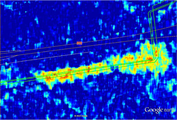
RESUCI is an undergoing project developed to prove the technical and commercial viability of using spate assets and technology in support of resilient and sustainable right of way corridors for powerlines and pipelines, while simultaneous contributing to mitigate the infrastructure related negative impacts to the surrounding environment.

S4CI – Support for Critical Infrastructure
Status date: 13 January 2020
A monitoring service that provides Critical National Infrastructure (CNI) asset owners and operators with resilience against problems associated with structural health through the use of Earth Observation data and in-situ devices.

Services enabled by HAPS
Status date: 22 January 2020
HAPS platforms are evolving in the stratosphere to conduct earth observation. They provide large-scale images as a support to decision-making processes in domains like meteorology, security, safety, natural resource inventories, climate change or prevention and monitoring of natural disasters. They provide high versatility, near real-time information and high revisit frequency on their targets
ThermCERT
Status date: 12 December 2019
Fuel poverty is an increasingly large social problem in the Great Britain, as well as in the rest of Europe. Ageing, inefficient building stock and rising fuel prices are pushing more and more households into fuel poverty.
ThermCERT reduces the complexity, cost and time spent identifying households who may qualify for Energy Company Obligation (ECO) support, allowing energy suppliers to deliver their obligation more efficiently.
GridWatch
Status date: 09 September 2019
GridWatch offers owners of high voltage power infrastructures a continuous monitoring and alarming system to support the inspection, maintenance and management procedures of power lines, and a management system providing the measurements of the parameters necessary to dynamically operate the power lines, i.e. ambient temperature, wind speed and direction, solar irradiance and conductor temperature.