


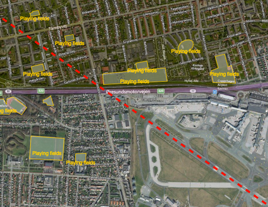
Reducing the risk of bird strikes using satellite images and Ascend’s Normalised Difference Water index software (NDWI)











BROWSE PROJECTS
Based on user needs and industry skills, the evolution of customized solutions and the establishment of innovative services is accomplished through project activities. Focusing on various thematic areas, relevant information on the project activities is provided below.

Services enabled by HAPS
Status date: 22 January 2020
HAPS platforms are evolving in the stratosphere to conduct earth observation. They provide large-scale images as a support to decision-making processes in domains like meteorology, security, safety, natural resource inventories, climate change or prevention and monitoring of natural disasters. They provide high versatility, near real-time information and high revisit frequency on their targets

ThermCERT
Status date: 12 December 2019
Fuel poverty is an increasingly large social problem in the Great Britain, as well as in the rest of Europe. Ageing, inefficient building stock and rising fuel prices are pushing more and more households into fuel poverty.
ThermCERT reduces the complexity, cost and time spent identifying households who may qualify for Energy Company Obligation (ECO) support, allowing energy suppliers to deliver their obligation more efficiently.
GridWatch
Status date: 09 September 2019
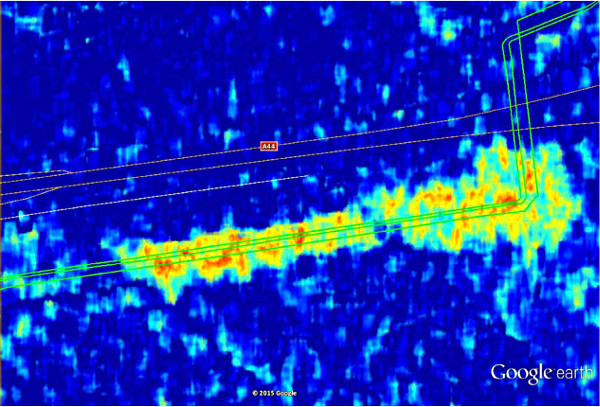
GridWatch offers owners of high voltage power infrastructures a continuous monitoring and alarming system to support the inspection, maintenance and management procedures of power lines, and a management system providing the measurements of the parameters necessary to dynamically operate the power lines, i.e. ambient temperature, wind speed and direction, solar irradiance and conductor temperature.

PLIMM
Status date: 24 June 2019
‘Helping to find the important needles within the InSAR time series haystack’
The PLIMM services developed within the project provide users with unique information on the performance of their assets. Using a set of proprietary workflows and algorithms on processed InSAR data the system is able to identify critical insights within the millions of individual measurement points. Developed in close collaboration with the user community, the system provides earth observation outputs in a format that is most appropriate for the target sectors.
NG-RMP
Status date: 14 November 2019
The Next Generation Recognised Maritime Picture (NG-RMP) provides a real time marine solution for the monitoring of vessels, complemented with advanced decision support. The system provides for risk determination from the viewpoint of either navies and the security of countries EEZ or insurance organisation to determine risk exposure of their marine vessel portfolio in real time worldwide.
Services enabled by HAPS (Thales Alenia Space)
Status date: 14 November 2019
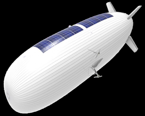
The need for effective surveillance covering large surface areas around the world is expected to boost the market for HAPS.
The study objectives are:
- to define services where HAPS can play a key role in the short-term, mainly for maritime and border surveillance, support to ISR (Intelligence, Surveillance and Recognition) activities and emergency response applications,
- to technically and economically assess and characterise the previous applications and services complemented by satellites.

Smeeth
Status date: 08 November 2019
SMEETH designed to supports health researchers handling a large database on atmospheric composition, meteorological data, and correlated geo-referenced medical records, in a web-based Geographic Information System (GIS) environment. The final goal of SMEETH is to determine the plausibility of providing early warning of outbreaks of respiratory diseases using satellite measurements.
Space Innovation System to Monitor Animals
Status date: 23 May 2019
SISMA2 provides a series of cost-effective space-based tools to facilitate the management of the pastoralism livestock industry, and cope with the future.
DeFROST
Status date: 26 September 2019
Based on satellite data, DeFROST delivers the ultimate solution for terrain status monitoring for the Outdoor Tourism Industry. Providers of Digital Outdoor Platforms as well as Outdoor Touristic Destinations require the most accurate and up-to-date data of terrain conditions to be able to take decisions like opening, closing or carrying on maintenance works on a trail, plan marketing campaigns and inform tourists, ultimately keeping them safe.

Services Enabled by HAPS (Unisphere)
Status date: 02 September 2019
Within the context of satellites, terrestrial infrastructure and Remotely Piloted Aircraft Systems (RPAS), HAPS are a new platform offering unique advantages, but also complement existing services. Three major HAPS applications have been analyzed within this feasibility study. The concept of “HAPS as a Service” (HaaS) has been introduced and its unique requirements to highly automated flight management were detailed. A follow-up demonstration project with the focus on flight management has emerged from this feasibility study.

eOdyn surface currents
Status date: 01 July 2019
eOdyn’s surface currents service enables saving costs and mitigate risks on offshore Oil & Gas marine operations. Simultaneously providing unique information onboard vessels and to onshore support teams, this satellite-based service supports decision making.
CSP-FoSyS-FS
Status date: 15 June 2011
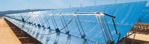
Concentrating solar thermal power plants with an electricity production of up to 250 MW have to be integrated into the electricity grid. Both day-ahead and intra-day forecasting of the production and therefore direct solar irradiance forecasting is needed. The feasibility study investigates a production forecasting service using numerical weather prediction and satellite-based nowcasting. It will prepare the setup of a demonstration solar production forecast system for the Andasol-3 power plant in Spain.
SISMA
Status date: 12 March 2018
SISMA is a low-cost solution to monitor domestic and wild herds that includes regional analysis to help dependent populations and state agencies to manage animal safety and welfare and mitigate climate change. It combines IoT and satellite technologies to track the movement, activities and biometrics of the animals. It enables data sharing between herders, veterinaries, local – state authorities, scientists, consultants…