


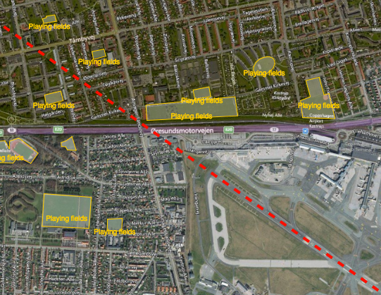
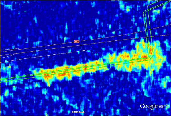
Reducing the risk of bird strikes using satellite images and Ascend’s Normalised Difference Water index software (NDWI)




BROWSE PROJECTS
Based on user needs and industry skills, the evolution of customized solutions and the establishment of innovative services is accomplished through project activities. Focusing on various thematic areas, relevant information on the project activities is provided below.

SENSA
Status date: 05 March 2018
The SENSA project aims at a collaborative platform supporting âsustainable & responsible tourismâ in protected remote areas, such as natural parks, natural reserves and historical sites.

ESA-IoT
Status date: 19 December 2018
The study intends to understand the future of a satellite-based IoT solution and the market for related products in multiple industries that require monitoring and in particular the monitoring of assets in remote areas. Through the study we engaged with major industrial companies providing them with a small demo of the proposed IoT product to validate business opportunities.

AMBROSIA
Status date: 14 August 2018
The ESA-Ambrosia food safety and traceability platform combines Blockchain technology, IoT, Satellite Earth Observation (SatEO) and GNSS Satellite Navigation to achieve maximum automation, security, and transparency of the food supply chains.
WELLACTIVE
Status date: 14 December 2018
WELLACTIVE is a Silver Fitness & Leisure Platform helping Seniors perform outdoorrecreational activities tailored in real-time to their personal abilities and interests, combining “physical, cerebral and social” undertakings shaped for “impairment and accessibility”.

Star Point
Status date: 14 December 2018
Apply the ESA’s DrMUST LoOP outlier detection model to find anomalies in financial trading data and in time-aggregate sales and trading performance measures. Provide rich real-time alerts to sales people and traders when anomalies are detected.

NaturAgeing
Status date: 12 December 2018
Smart digital solutions for healthy ageing through improvement of outdoor lifestyle of the elderly.
SPACEWHALE
Status date: 11 December 2018
SPACEWHALE is an innovative, semi-automated approach based on deep-learning techniques to detect large whales from VHR satellite images. It forms the bridge between space asset providers and stakeholders in need of population assessments of large whales to increase our ability to survey areas out of reach for traditional methods such as ship and aerial surveys.

LUMEN
Status date: 28 August 2018
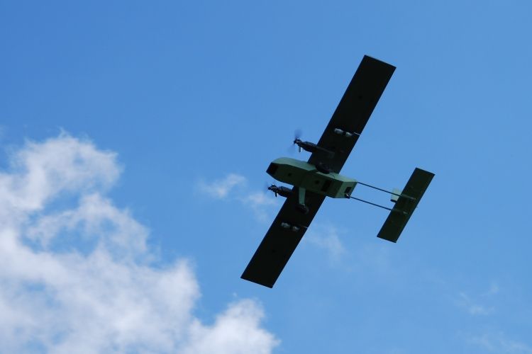
LUMEN provides a fully integrated end-to-end solution for real time monitoring and critical situation management with medium sized RPAS that can operate beyond line of sight.
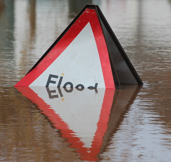
The service is demonstrated with two specific use cases representative for the target market: flood extend mapping and maritime coastal monitoring.
TransparentForests (FS)
Status date: 14 August 2015
Forest products such as paper, wood and composite materials are used in everything from construction to news distribution and energy generation, yet they may represent considerable environmental and social impacts. Today, knowing the origin and life cycle of product constituents is important for both retailers and consumers. Major corporations do not like to be associated with poor forest management: it is bad for business and for customer relations.

Space Applications using Animal tracking data
Status date: 30 November 2018
The aim of the feasibility study is to evaluate a service for monitoring wildlife and farm animals. The service consists of a hardware part (collars for the animals, buy or lease) and a software to be offered as software as a service. For users these two parts are transparent, and they rent an overall service for animal tracking.
MAPCAM
Status date: 29 November 2018
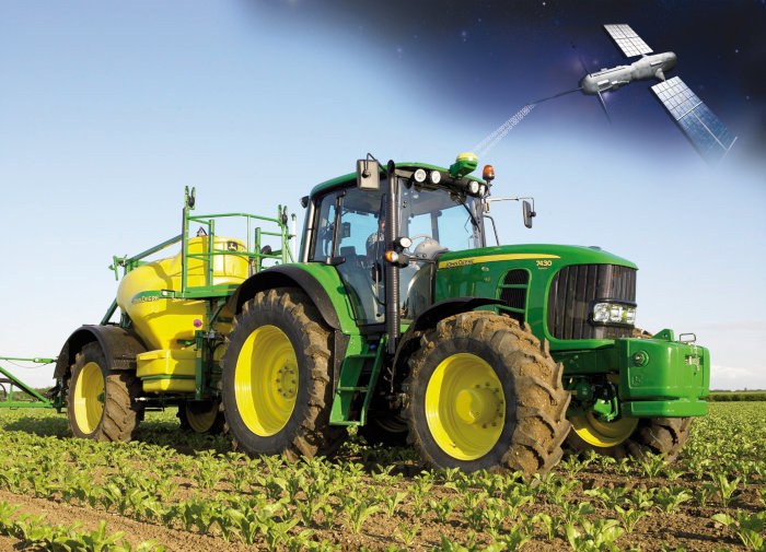
MAPCAM provides crop identification and crop productivity information through the growing season to support a number of different regulatory, policy, planning and protection functions aimed at ensuring food security and adaptation to above-average climate change impacts.

AquaFarm
Status date: 16 November 2018
Aquafarm brings together satellite data and Soil-Plant-Air models to provide operational services to Farmers’ service providers as well as national institutions related with crop development and forecast.

Space Applications for Wildlife
Status date: 15 November 2018
The services helps private and public organizations with assessing, monitoring, preventing, managing, and planning strategy for wildlife conservation.

SAMIPS
Status date: 15 November 2018
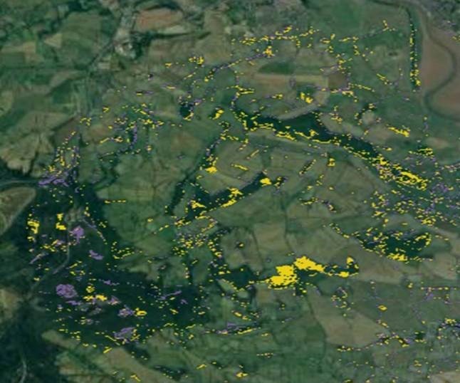
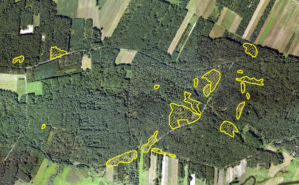
The main objective of the project is to investigate user needs, technological feasibility and economic sustainability of the implementation of the EO-based solution allowing for detection and monitoring of habitats affected by invasive plant species.

SafeSki
Status date: 27 February 2017
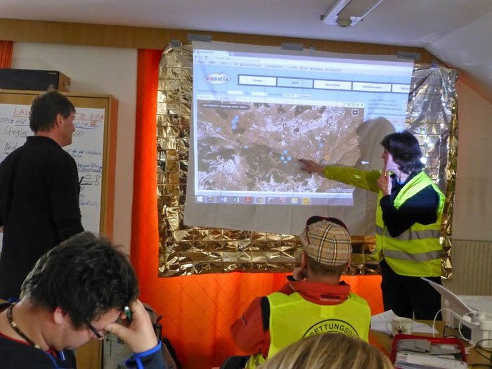
The SafeSki Demonstration Project covers the pilot implementation of Safety and Information Services for Ski Resorts and succeeds the successfully completed SafeSki Feasibility Study. The SafeSki pilot-demonstration stage aims at increasing the safety and security on slopes, increasing customers and thus revenue, saving time regarding data acquisition and documentation and reducing personnel costs through optimization of internal processes.