

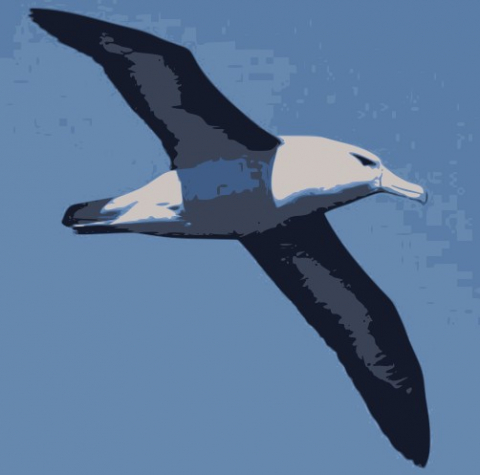
Reducing the risk of bird strikes using satellite images and Ascend’s Normalised Difference Water index software (NDWI)


BROWSE PROJECTS
Based on user needs and industry skills, the evolution of customized solutions and the establishment of innovative services is accomplished through project activities. Focusing on various thematic areas, relevant information on the project activities is provided below.
ALBA-TROSS
Status date: 10 April 2019
Alba Orbital is working to develop satellite applications which utilize each aircraft’s unique ‘Automatic Dependent Surveillance-Broadcast’ (ADS-B) signature. ADS-B signals contain data on flight path, and flight weather conditions, and can be used to enhance global weather forecasts, verify aircraft carbon emissions, and aid in Mayday scenarios, especially when fused with other satellite and ground based data-sets.
Tesselo
Status date: 10 April 2019
Our mission is to help organizations manage their natural resources more efficiently and sustainably. To achieve this goal, we augment satellite imagery with Artificial Intelligence and environmental expert knowledge to deliver actionable business insight to our customers.
Planet B is too far away – let’s take care of Planet A.
Greenhouse Early Warning Service
Status date: 09 April 2019
Greenhouse owners are in a very competitive market, in which unexpected costs due to damage and decay of the greenhouse assets can cause severe problems. This feasibility study aims to provide insights into how an early warning service using space data can help greenhouse owners to prevent or mitigate non-insurable risks threatening their business.
ARC-REACH
Status date: 08 April 2019
A number of countries are making preparations to turn the rapidly warming Arctic into a busy global shipping route.
The objective of the ARC-REACH project is to validate the need and feasibility to setup a cost-effective low-power long-range dynamic radio network, tailored for tracking of cargo and maritime activity, complemented with remote sensing of the environment.

SSFIS
Status date: 02 April 2019
Smallholders are underserved by credit providers as lenders are unable to assess their risk. Sensonomic’s system uses predictive and prescriptive simulations to assess system effects of credit deployment and open the market. With its dynamic data consumption, and iterative and reactive simulations, the service provides a continually updated prediction of how robust the credit providers portfolio is.

NG Aviation – Smart Airports
Status date: 28 March 2019
Proposed system serves as a platform for Airside area management based on ICAO and EUROCONTROL legislative as a support for satellite navigation.
AIME Aeronautical Information Management Environment software platform enables to create and share digital aeronautical data including the temporal warning messages (Digital NOTAM) in AIXM 5.1 format.
European Space-based Information Management System for CBRN (EuroSIM CBRN)
Status date: 22 March 2019
The aim of this project is to investigate the feasibility of developing the next generation of CBRN information management system through the provision of a web-based service model which enables a wide user community to have access to the type of advanced CBRN IM technology already available to the military in the UK, the USA and NATO.

CERASAT
Status date: 20 March 2019
CERASAT aims to provide reliable, real-time and global rainfall measurement services. It extracts the rainfall information from the signalling data generated in satellite communication (SatCom) networks by employing advanced machine learning and signal processing techniques. CERASAT can complement existing rainfall measurement solutions e.g. rain gauges and weather radars.
HiVaCroM
Status date: 18 March 2019
HiVaCroM uses a time series of Sentinel-1 SAR observations as the basis for generating field-level canopy cover measurements for high value potato crops on a national scale. The canopy cover measurements are required frequently, throughout the growing season, as input to yield models and to inform crop performance metrics. The yield model and crop performance metrics provided important information that growers and supply chain can use to manage crop-related risk during the growing season.
ISSWIND Demo
Status date: 13 March 2019
ISSWIND provides value-adding services to wind power industry in the areas of planning and operations, with financial and organizational benefits, to a wide range of wind power stakeholders. More accurate wind resource assessments and power production estimations are just two of the range of services available that shall benefit the client’s business.
Project Impactor
Status date: 11 March 2019
Impactor deliver a prototype/credit scoring tool based on locally collected data, weather data and remote sensing data works. With this, we can provide financing to smallholders – and support traders in taking over financing activities to these smallholders – Impactor could in a later stage expand to advice, which after then can be presented to impact investors (via a platform).
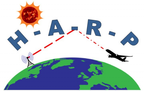
HARP
Status date: 08 March 2019
For safe operations, commercial aircraft have to be able to communicate with air traffic control centres at all times. In remote areas such as the polar regions, communication is by HF shortwave radio, which may be severely disrupted by space weather events. The provision of state-of-the-art services for HF communication management is covered by the HARP project.

Ground Instability Risk Profiling (GIRP) now branded as Hi_Ground
Status date: 22 February 2019
Hi_Ground delivers new subsidence risk profiling tools, based on our unique Core Subsidence Hazard Score, for every property and postcode in the UK.
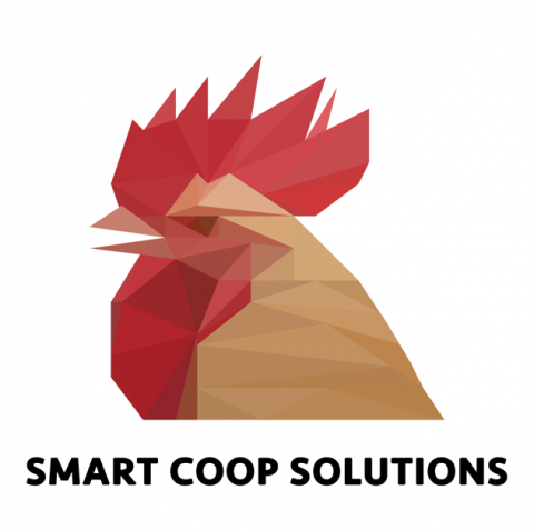
SCS
Status date: 18 February 2019
Smart Coop Solutions (SCS) is an Internet of Things (IoT) based sensing service enabling the organic farmer to monitor and maintain mobile chicken coops remotely and to guarantee suitable conditions for the animals. Animal welfare under organic standards has strict regulations and requires that coops offer a suitable indoor climate and outdoor environment. Real-time monitoring through the SCS provides farmers with relevant statistics, actionable information and peace of mind through a simple mobile app.
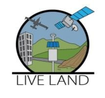
LiveLand
Status date: 20 February 2018
Transport operators across the UK face significant challenges in monitoring and detecting landslides and subsidence across their networks. LiveLand supports asset owners and operators to assess and monitor high-risk areas of their transport network providing improved geological hazard information at regional, network and local levels using integrated data from Earth observation satellites and GNSS.