


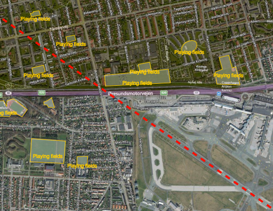
Reducing the risk of bird strikes using satellite images and Ascend’s Normalised Difference Water index software (NDWI)










BROWSE PROJECTS
Based on user needs and industry skills, the evolution of customized solutions and the establishment of innovative services is accomplished through project activities. Focusing on various thematic areas, relevant information on the project activities is provided below.

SAGRESSMART
Status date: 01 September 2022
Powered by artificial intelligence and earth observation, SAGRESSMART provides solutions to improve efficiencies and success in seafloor mineral exploration and investment. As a way to increase knowledge, reduce risk and uncertainty, and assess mineral potential, SAGRESSMART is design to simplify and reduce the time spent compiling, managing and interpreting data and concentrate efforts on the evaluation and raking of high-value targets.

SATWORK
Status date: 31 January 2023
SATWORK is a tool able to monitor the health status of workers and to mitigate health risks but, as well as to help companies to define a new internal “welfare”. In the context of COVID-19, the solution is compliant with a reasonable social distancing and with the privacy needs of workers.

SEED
Status date: 24 August 2020
An advanced AI enabled satellite-based data powered software solution for renewable energy production forecasting including solar and wind energy
COSPARIN
Status date: 25 January 2023
The objectives of this project are firstly the improvement in developing vulnerability analysis using spatial data along with the development of a world-wide rainfall assessment in real-time. This is done via several al-gorithms that correlate infrared satellite images to obtain an operational flood risk management base. The data can be used by competent or-ganizations to ensure real-time crisis management.

B-SURE
Status date: 11 August 2022
B-SURE can significantly reduce disaster management response time
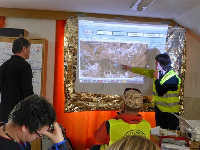
The main B-SURE service is rapid collection and bandwidth-efficient secure communication of operationally relevant field information. The baseline field platform is a smartphone, while remote information managers access data and interact with the field users via Web browsers online on secure servers. The field users cover professionals, civil population and small UAV operators. A novel element is the specific focus on and support for remote disaster management support.
SatNetMonitor
Status date: 13 July 2020
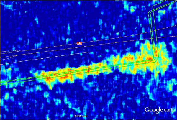
Electricity is the lifeblood of modern society and security of electricity supply is extremely important. Energy transmission and distribution networks are vulnerable. Information collected by satellites can be used to make the maintenance of the networks more efficient, to reduce risks due to the changing environment, and to mitigate the risk of interruptions.
SyriUS Feasibility Study
Status date: 04 April 2020
SyriUS is developing innovative data services for bathymetric mapping, benthic mapping, seafloor characterization, habitat mapping, and environmental monitoring. Current end users experience a lack of such data availability. For example, bathymetric maps are often outdated and not available for very shallow waters. SyriUS proposes three innovative data services that combine proven earth observation (EO) technology from EOMAP GmbH & Co. KG with unmanned maritime systems (UMS) solutions from Maritime Robotics AS. Data products created via the SyriUS services provide larger area coverage than can be obtained using only UMS, and with greater accuracy than can be obtained using only EO solutions.

EnviNavigator
Status date: 01 June 2022
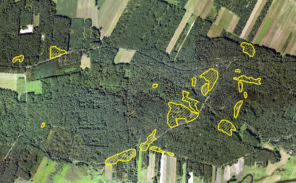
In the project, self-learning AI engine and services for providing up-to-date information on the current state of forests, their risks, and changes in them have been produced for the needs of forest professionals and forest owners by combining satellite data with other data sets relating to forestlands.

EBX4EDU
Status date: 24 March 2022
For individuals and educational institutions, Earth Blox makes access to satellite data easy by removing the barriers to access and understanding. Earth Blox quickly empowers students to go from sensing to sense-making, whether they are in a lab or at home.

EPICO19
Status date: 28 January 2022
EPICO19 is a web-app designed to support public health technicians and decision-makers managing epidemic control. The tool is a GIS-based (Geographic Information System) DSS (Decision Support System), driven by an epidemiological machine learning engine that provides forecasts of the outbreak spread. EPICO19 exploits Artificial Intelligence applied to Very-High Resolution (VHR) satellite imagery and SatEO to evaluate population’s vulnerability due to pollutants exposure.

‘feed from the field’
Status date: 17 January 2022
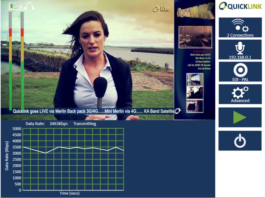
At the moment, the ‘feed from the field’ is an emerging technology that takes live content from entertainment and sports sources and publishes it worldwide to mobile phones. The technology ensures the availability of the content to the user with minimum delay from the time the content is available to it being on the user’s smart device. This process is manual and requires operator intervention.

MELODY JUNIOR
Status date: 15 February 2022
MELODY is a robotic telemedicine tool, which allows a medical expert to remotely perform an ultrasound exam on a distant patient. It offers access to diagnostic capabilities for remote populations requiring ultrasonography. While it has proven to be effective on adults already, MELODY is however not approved yet for paediatric use. This activity aims therefore to develop and validate a solution allowing children to also benefit from remote ultrasound scan. This is of high interest during the COVID-19 crisis, as it will avoid travel to the rare paediatric centres while protecting medical experts from a direct exposure to the virus.

CONTACTLESS
Status date: 28 April 2022
Contactless Car Rental, transforms the car rental experience from being counter-centric to app-centric. It ensures a car rental company can offer a service where the rental customer can get the right car in the right location at the right time, providing much greater convenience while removing the need for user/staff contact.
CHC
Status date: 29 June 2022
The CHC Project delivers satellite connectivity to health care sites within Cornwall & Scottish Highlands where terrestrial connectivity may be poor. The project team is validating with technology within the health care sector by evaluating the functionality of e-health software platforms on the satellite provided network, and assess benefits of satellite enabled healthcare to staff and patients.