


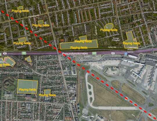
Reducing the risk of bird strikes using satellite images and Ascend’s Normalised Difference Water index software (NDWI)







BROWSE PROJECTS
Based on user needs and industry skills, the evolution of customized solutions and the establishment of innovative services is accomplished through project activities. Focusing on various thematic areas, relevant information on the project activities is provided below.
MIDAS
Status date: 02 April 2019
Land mines and IEDs are a global problem that impact individuals, nations and the international community.
The MIDAS programme uses space services to improve efficiency, coordination, assurance, traceability, autonomy and safety of clearance operations; reducing casualties and returning land to productive use around the world.
TIKKA Service
Status date: 27 January 2020
The TIKKA's service is dedicated to support forest users during their operational task inherent to the development of timber logging plans. The service benefits from the integration of LIDAR, SAR and GNSS technologies. The project output (the maps, analysis and reports) will be published and available for all the authorized person via the web geoportal.
ASTROCAST
Status date: 25 March 2021
Astrocast is developing an advanced Nanosatellite network for the Internet of things (IoT).
OWASIS-NL
Status date: 27 January 2021
The lack of proper information on water availability is one of the most challenging obstacles for water management practices. To fight this challenge, OWASIS-NL uses space assets in two innovative water availability services that support effective water resource management in the Netherlands and South Africa.

ONE CLASS! Open Network for Education
Status date: 05 October 2020
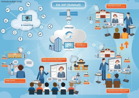
The ONE CLASS! project proposes an efficient satcom based solution integrated with eLearning services, aiming at supporting two main activities:
- Basilicata Multi-classes: ONE CLASS! supports rural schools located in the Basilicata Region (IT), which need to face the problem of the so-called “multi-classes” with the additional constraint represented by the geographical isolation.
- Social Integration Services for Foreign Unaccompanied Minors (FUM): ONE CLASS! supports social operator entities and reception centres of immigrants and all other NGOs active in the field, which need to offer to foreign unaccompanied minors (FUM) educational and social inclusion services, being often located in very remote areas.

InsureApp Service
Status date: 10 November 2020
The objective of this project is to demonstrate a web-based Water Control Room which improves the efficiency of insurance claim management and water management before, during and after weather-related hazards. The key service offered is the Flood and Rain Report Generator which automatically generates reports for specific flood or rainfall events based on information from satellites, radars, gauges and crowdsourcing
DG-TRAC Demo Project
Status date: 10 December 2019
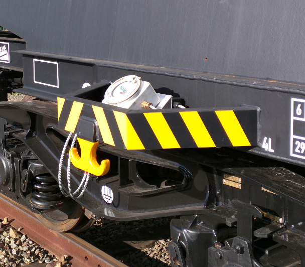
The DG-Trac project addresses the tracking and tracing of dangerous goods in the medical sector integrating and using navigational and communication space services together with GSM/UMTS and Internet. DG-Trac introduces a centralised mechanism for the management and distribution of information concerning each dangerous goods transport.
In case of an accident, emergency service will be informed about the involved dangerous goods.

EUROPORT
Status date: 07 January 2020
Ports are fundamental and main part of inter-modal global transport in the world. The growth in freight transport stresses the existing infrastructure to its limits. There are already considerable signs of congestion in the European transport system, e.g. on the roads and in harbors. Congestion will have a negative impact on the costs and time of transportation, which affects the prices and the quality of products.
EUROPORT aims to optimize the synchronization between the several transportation modes reducing the downtime in the logistic chain.

IWBSF
Status date: 27 January 2020
The aim of this feasibility study is the development of an end-to-end service that aims at providing access to value-added information for forestry users. The idea of the IWBSF is to promote the efficient and widespread use of EO and GNSS elements through published services including analyses outputs from forestry case studies, information concerning distribution, inventory uploading, resource management and archival functions.

KORE
Status date: 07 January 2020
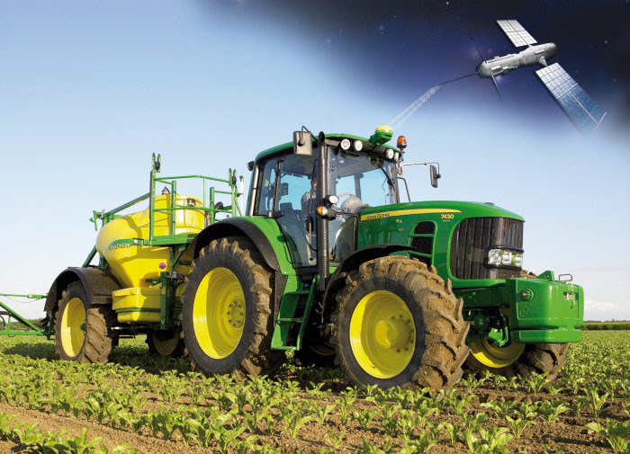
KORE improves UK and international agronomists’ and farmers’ crop management by exploiting new precision agriculture techniques to target inputs and increase crop yields.
KORE utilises remote sensing and satellite navigation techniques to survey fields easily and cost-effectively.
KORE provides simple interpretations of complex information on crop growth and crop health.
KORE replaces a successful, proven on-line agronomy service, EssentialsMap.

EOMST
Status date: 22 April 2020
The 21Net system enables Internet services on board high-speed trains. The system uses several communication technologies to access the internet: cellular, Wi-Fi and satellite. A Mobile Access Router manages the links switching from one to the other depending on their availabilities. The goal of the project is to improve Users’ experience of the current system by optimizing the bandwidth usage. In a final phase, 21Net will improve the overall system performance with the development of a new generation of its Mobile Access Router: MAR4
RailSAT
Status date: 07 May 2019
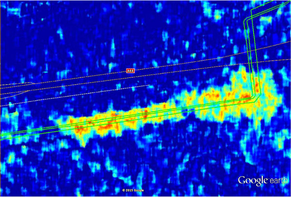
RailSAT intends to enhance the current practices of monitoring railway track geometry and the surrounding environment by using Earth observation satellite data, in particular Interferometric Synthetic Aperture Radar (InSAR), and satellite navigation.
SnowSense DP
Status date: 23 September 2019
Provision of Snow, Run-off and Hydropower Information for Remote Areas: We are using In-Situ Snow Monitoring, Earth Observation and Model Techniques as innovative solution for the assessment of snow cover, the amount of water stored in it, it’s potential for energy production and the related risk of flood events.
CSP-FoSyS
Status date: 14 June 2019
Concentrating solar thermal power plants with an electricity production of up to 250 MW have to be integrated into the electricity grid. Both day-ahead and intra-day forecasting of the production and therefore direct solar irradiance forecasting is needed.
During the demonstration project, a forecasting system based on the use of satellite data, cloud cameras, numerical weather prediction models and plant model was developed. The system was installed, tested and demonstrated in La Africana CSP power plant in Spain.