


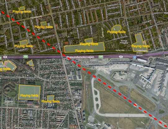
Reducing the risk of bird strikes using satellite images and Ascend’s Normalised Difference Water index software (NDWI)







BROWSE PROJECTS
Based on user needs and industry skills, the evolution of customized solutions and the establishment of innovative services is accomplished through project activities. Focusing on various thematic areas, relevant information on the project activities is provided below.

PIMSIS
Status date: 01 September 2016
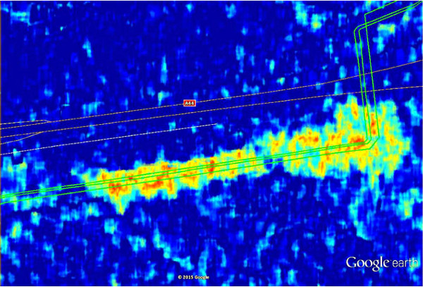
To demonstrate the added value of space assets for the monitoring of the integrity and safety of gas & oil transmission pipelines.
VGTropics
Status date: 22 April 2016
In many African countries, livestock farming is an important source of revenue that improves the quality of life and strengthens the development of the economy. Animal health not only has an impact on animal production and its economic consequences, but zoonoses may also have an important impact on public health. Real time surveillance and prompt actions are paramount in diminishing the impact of epizootics on livestock. For this reason, early detection and shortening the time between detection, reporting and providing measures to contain an outbreak is crucial.
VGTropics is the result of the “Predict” feasibility study which was successfully concluded in 2012.

VeriSpace
Status date: 09 February 2016
VeriSpace was an ESA-funded feasibility study that seeks to identify how space assets, such as Earth Observation (EO), Global Navigation Satellite Systems (GNSS) and communication technology, can be used to enable business benefits to insurance companies and loss adjusters when managing insurance claims. During the study, the VeriSpace Consortium specified two sustainable, user-driven services that utilise these space-based technologies to meet the needs of those businesses involved in claims management.
The VeriSpace feasibility study showed that space assets can contribute to providing services that can help the insurance industry in a number of business processes within the overall insurance claims process, which can ultimately provide efficiency savings to the insurance industry.
ARCTICSAT
Status date: 22 March 2016
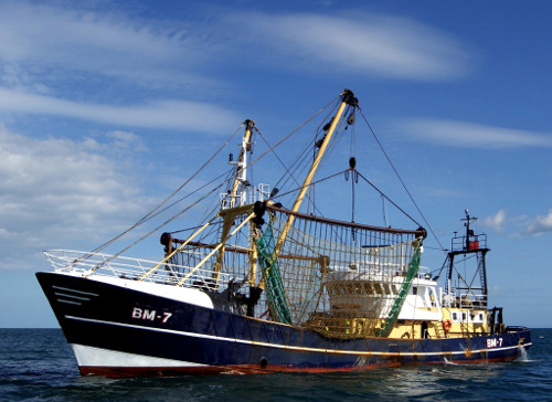
The objective of this feasibility study is to assess and validate the requirements for space technologies in support of optimising situational awareness in the Arctic. The major focus is on two application areas – shipping (e-Navigation in the Arctic) and oil & gas (Arctic oil spills).

GIRP
Status date: 25 August 2015
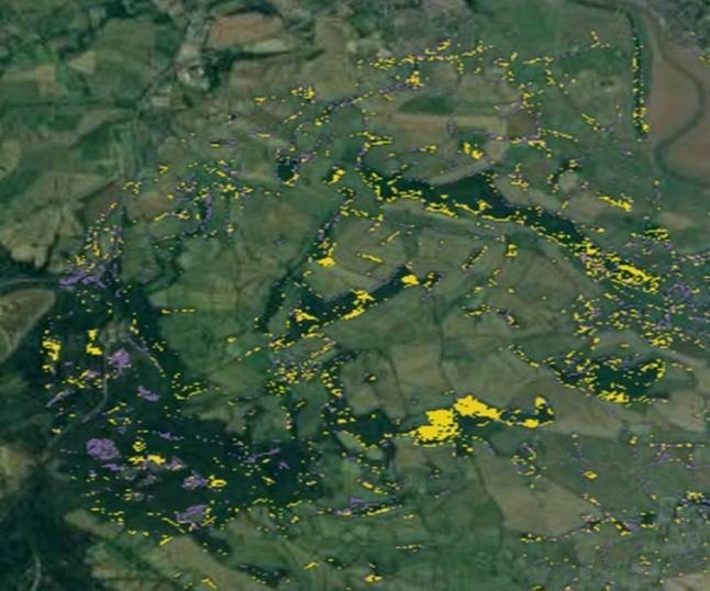
Subsidence due to clay shrinkage is the largest ground instability issue affecting residential property in the UK (75% of all valid insurance claims) with rectification costs averaging £250m (295m Euro) p.a. Research by the insurance sector (Swiss RE and Lloyds of London) indicates that the extent of subsidence both in the UK and Europe will worsen in line with climate change forecast. The insurance sector equally recognizes the need for significantly improved profiling and predictive tools to identify and target risk mitigation management.
The Ground Instability Risk Profiler (GIRP) service is planned to enable an accurate and predictive ground stability risk profiling service to the insurance industry in a range of flexible formats through the integration of property data sources and satellite information.
TIM
Status date: 16 June 2015
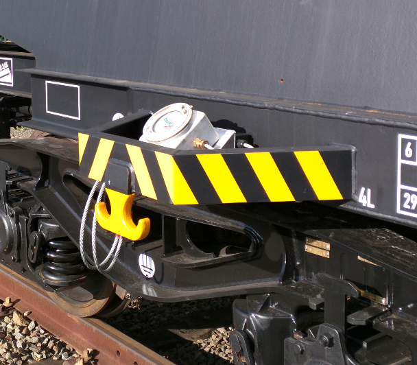
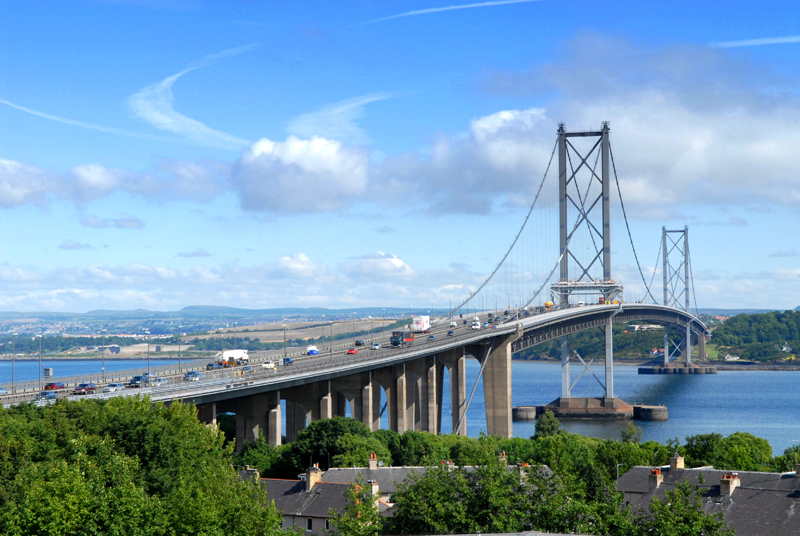
Efficient asset management is required to meet increasingly stringent demands on safety and reliable performance of new and ageing infrastructure under varying and sometimes hazardous environments. The Transport Infrastructure Management (TIM) Service is planned as a new generation of asset monitoring services that can be deployed across multinational organizations. The concept is based on the integration of location and mapping capabilities of space assets and ground local point sensor networks - delivering data in the most efficient manner.
Com4Offshore
Status date: 17 February 2016
The objective of the feasibility study is the assessment of the technical feasibility and commercial viability of an integrated communication system, enabling a multimodal usage of communication infrastructure and services for offshore wind park construction. The interactive applications of such innovative system include a simplified, reliable and cost effective exchange of voice, video data and positioning information between the contractual partners of offshore construction activities during a complete wind farm project.
CGWay
Status date: 04 December 2015
An initial study into the feasibility of implementing a high throughput satellite gateway in equipment containers including the use of a highly innovative approach to the antenna using multiple smaller antennas.