


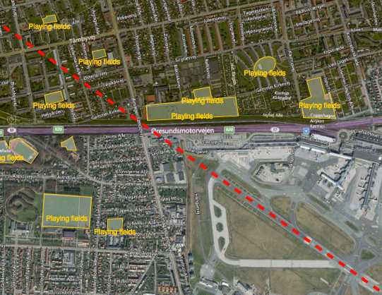
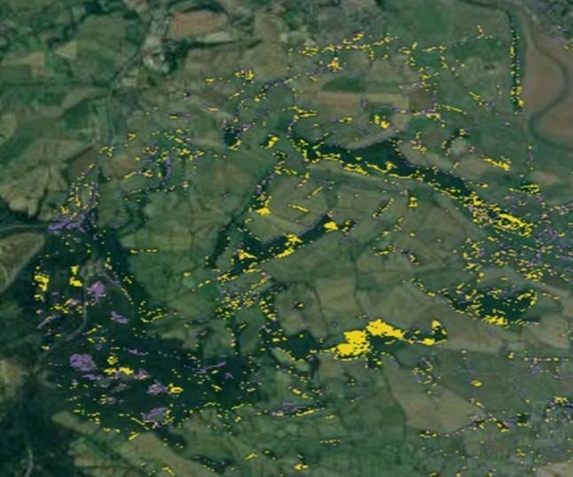
Reducing the risk of bird strikes using satellite images and Ascend’s Normalised Difference Water index software (NDWI)







BROWSE PROJECTS
Based on user needs and industry skills, the evolution of customized solutions and the establishment of innovative services is accomplished through project activities. Focusing on various thematic areas, relevant information on the project activities is provided below.

OTMOSERA
Status date: 29 August 2014
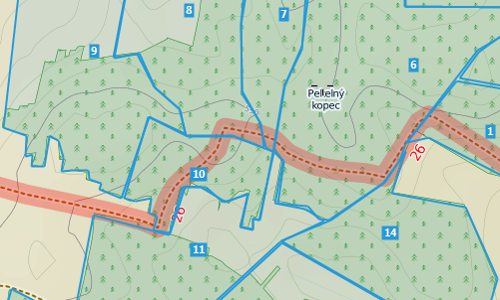
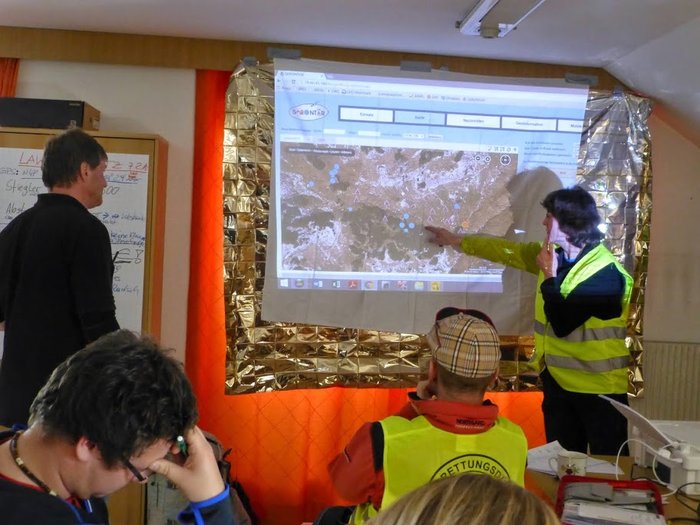
The purpose of the fast track feasibility study 'Open Trail Map / Open Solutions for enhanced Situation Awareness and efficient Emergency Response Actions in Mountainous Regions - OTM / OSERA' was to investigate and assess the technical feasibility and commercial viability of sustainable services to support the management and maintenance of hiking paths and trail maps, to support the safety and enjoyment of their visitors, to reduce the operational cost, and to prepare the follow-on steps for the implementation of such services.

TT-GSAT
Status date: 20 September 2022
TT-GSat offers a test and trial environment for emergency personnel and industry where it is possible to touch, try out and play with real building blocks to creatively find and implement new solutions. These building blocks can be individually combined with each other to try out and test the interaction of different equipment in different deployment scenarios.
SatCare
Status date: 04 March 2021
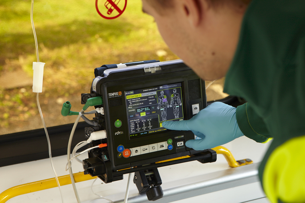
SatCare aimed to demonstrate two service concepts of remote diagnostics using a broadband managed communication system to include satcom. SatCare allows for video rich data to transmit scans to an hospital from a vehicle on the scene of the emergency and en-route to the hospital. Enabling a robust clinical decision support system for prehospital patients has an impact on the health outcomes for patients and can improve the productivity and efficiency of the ambulance service. Through the addition of Satcom we can broaden the coverage of this service to include areas where terrestrial broadband communication (LTE) is unavailable or over-subscribed.
JACKSON (AMAZON CCN#1)
Status date: 11 May 2020
This project is based on several ESA-backed projects, which resulted in the successful development of a set of telemedicine systems for civilian, military and commercial aviation applications. Since they were launched onto the market, the Tempus IC and Tempus Pro patient monitoring systems have been commercially successful in a range of pre-hospital care applications in Europe and North America.
This new project targets the development a range of products to allow wider implementation of telemedicine and patient data sharing through easy to install technology. This will enable access to larger market segments through cardiac electro-therapy solutions and data sharing capabilities.

RAPSODY
Status date: 19 November 2018
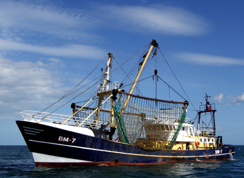
RAPSODY, a project led by TEKEVER, will demonstrate the use of remotely piloted aerial systems (RPAS) in a wide area maritime context, through the execution of search & rescue and pollution monitoring missions. The missions will be executed in near-real scenarios over the Atlantic Ocean. The Satcom-enabled RPAS will be fully prepared and customized to perform these maritime missions, including the integration of specific payloads and the usage of specially tailored mission-oriented data fusion, data compression and automatic feature recognition and identification algorithms.

DROMAS
Status date: 12 June 2019
DROMAS services aim at periodical full country monitoring of agricultural vegetation to serve decision makers on national level

TT-GSAT
Status date: 21 July 2016
TT-GSAT facilitates rescue and emergency services as well as industry and service providers to leverage innovations along evaluated needs and requirements, which results in minimized risk for solution development and eases complex deployments in a mission critical environment.
Comprehensive services with scoping services for innovation driven procurement, test and operation support for SatCom and terrestrial communication, navigation, EO based solutions and training/simulation services are offered.
HumaNav-Next
Status date: 17 February 2021
HumaNav Next demo project addresses the Aid & Development community’s urgent need to increase the security of humanitarian missions. It will develop a fully integrated and reliable vehicle on-board solution, providing:
• Geo-location, fleet monitoring, management and security
• Telecommunications: voice, messaging and data
The solution will provide seamless world-wide coverage and full service regardless of the lack of any local infrastructure, by using Iridium satcom and GNSS location. It will be adapted to humanitarian vehicles deployed in field missions in underdeveloped regions and conflict areas. All services will be available while driving.
HiVaCroM
Status date: 18 March 2019
HiVaCroM uses a time series of Sentinel-1 SAR observations as the basis for generating field-level canopy cover measurements for high value potato crops on a national scale. The canopy cover measurements are required frequently, throughout the growing season, as input to yield models and to inform crop performance metrics. The yield model and crop performance metrics provided important information that growers and supply chain can use to manage crop-related risk during the growing season.

aircheckr
Status date: 15 April 2020
aircheckr provides detailed outside air quality information and tools needed to effectively reduce your exposure to air pollution. It empowers people to actively or passively make better decisions and take actions in order to breathe better air. People are no longer defenceless. Improving the air at home/office or car, or reducing your exposure during biking or exercising is now possible. Together with its partners, aircheckr is working hard to integrate air quality information into a wide range of services, applications or devices.
ISSWIND Demo
Status date: 13 March 2019
ISSWIND provides value-adding services to wind power industry in the areas of planning and operations, with financial and organizational benefits, to a wide range of wind power stakeholders. More accurate wind resource assessments and power production estimations are just two of the range of services available that shall benefit the client’s business.
GeoSHM Demo Project
Status date: 10 June 2019
The GeoSHM Demo Project implements a pre-operational installation and demonstration across three of the longest bridges in the world. The primary purpose of the project is the integration of GNSS positioning and Earth Observation techniques to enable the Structural Health Monitoring (SHM) of long-span bridges. This project intends to bring the GeoSHM service to the global market incrementally.
SBS-RailS
Status date: 16 October 2017
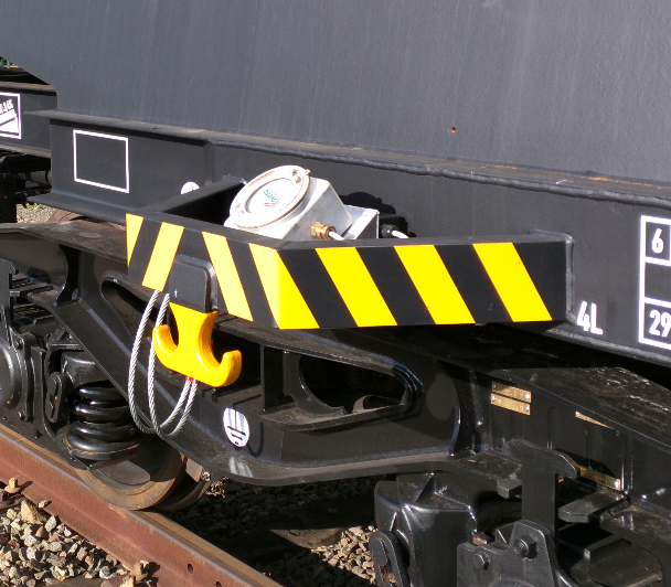
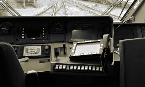
Space Based Services for Railway Signalling feasibility study shall assess technical feasibility and economic viability of an integrated satellite navigation and satellite communication solution complementing Level 2 European Rail Traffic Management System (ERTMS).
Satellite navigation systems can be integrated with the on-board and wayside signalling systems to guarantee the required level of safety (SIL4) that is today provided by the existing train detection systems, while satellite communication systems can complement or even replace terrestrial communications.